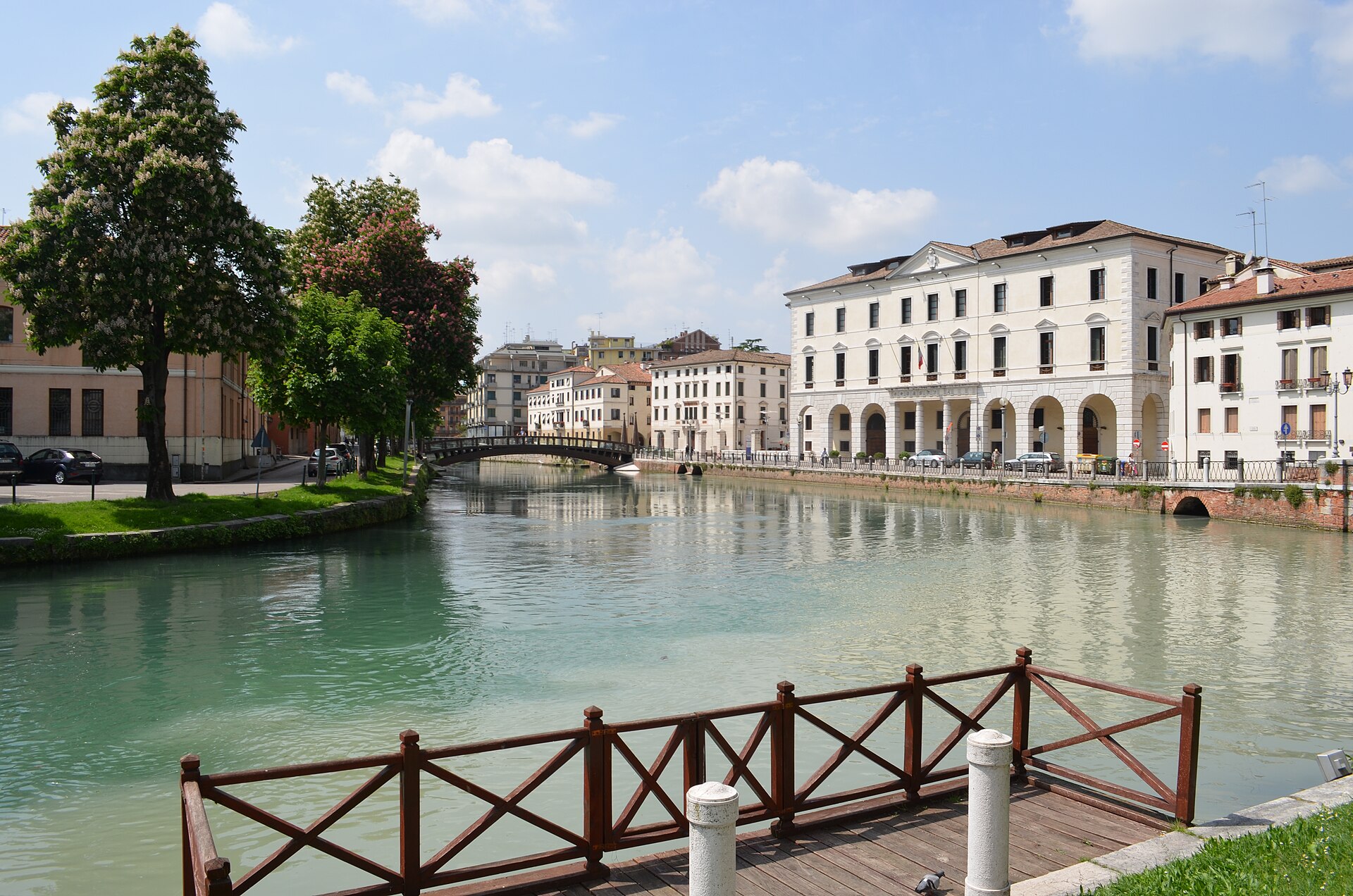
Route distanceChoose 20–62.7 km
Riding time2–6 hours
Best seasonMarch–November
EffortEasy–moderate · flat
Bike journey
Route at a glance
Official Sile Park greenway
Follow the official route
About 90% cycle path on the Treviso–Jesolo line
- Route authority
- Parco Naturale Regionale del Fiume Sile
- Trailhead
- Treviso
The second link is for the car journey to the trailhead only. For the bicycle ride, use the route authority’s map or GPX and follow the route signs. A general-purpose bicycle map may divert onto unsuitable roads.
Route sequence
Stay on the named cycle route
Treviso
Join the official E4/GiraSile greenway near the historic centre.
Silea
Follow the Sile’s restored towpath instead of the surrounding road network.
Burci cemetery, Casier
Pause at the atmospheric remains of the old cargo boats.
Casale sul Sile
Continue only as far as time and energy allow.
Treviso
Retrace the greenway for a simple, dependable return.
Pause along the way
Make the stop part of the ride
Casier is ideal for a riverside pause; Treviso offers the widest choice after the ride.
Openings change seasonally. Confirm before departure.
Ways to shape the day
Adapt the route
- Treviso–Casier short return
- Extend towards Casale sul Sile
- Download the official GPX/KMZ